polar crater / ice / light
Atlas
Overview map of worlds
The first interactive layer shows how the catalog will connect to mapping before heavy GIS logic is introduced.
Generated imagery
The atlas should be seen before it is read
Initial science-editorial plates that can later become mission imagery, reconstructions, or CMS-managed media.
sediment / rover / ancient water
Martian delta

atmosphere / radar / rings
Venus radar
Mercury / basin / color
Caloris
geology / hidden structures
Earth archive
Jupiter / Saturn / outer worlds
Icy moons
Source layerIAU / NASA / EID / editorial
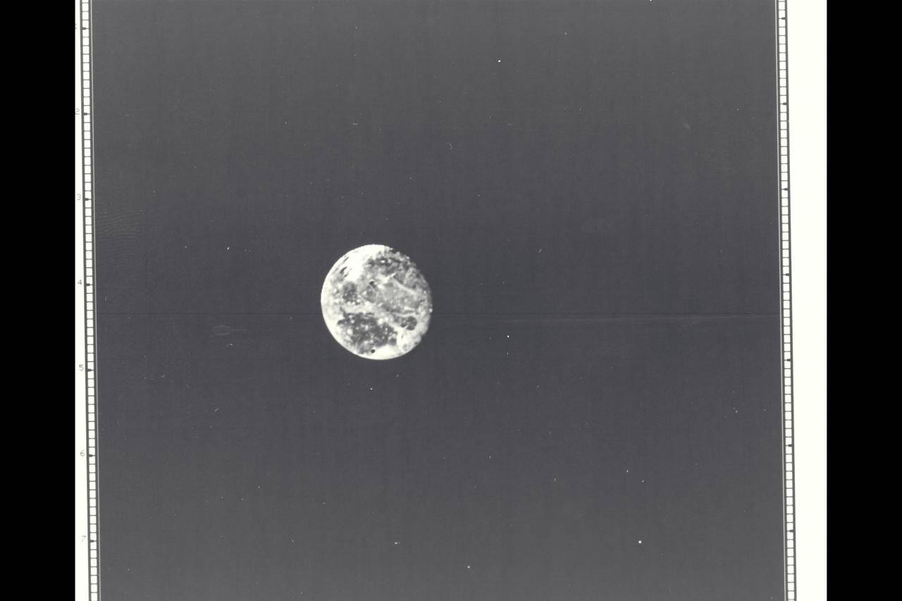
Live space weather
The Sun as an operational layer of the atlas
This module reads Kp, solar wind, Bz orientation, and GOES X-ray flux from NOAA SWPC.
Celestial mechanics
Orbits that make the atlas feel alive
The first version is visual; later it can connect to real planetary and mission ephemerides.
MercuryVenusEarthMarsJupiterSaturn